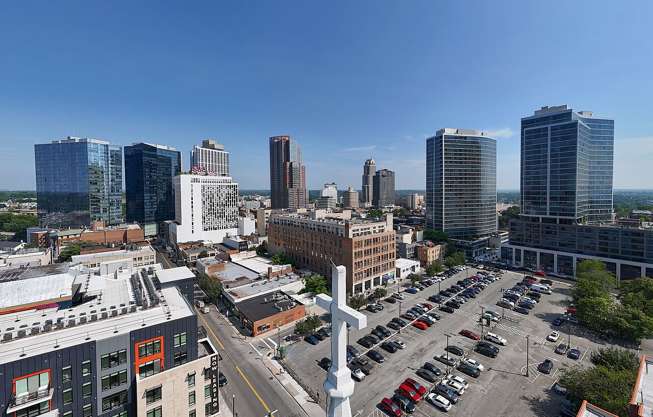
The storm that pushed TagNR off its date arrives in full today. New Rochelle sits under a Coastal Flood Warning until 6 PM Sunday: the National Weather Service expects two to three feet of inundation above ground level in vulnerable spots near the waterfront and shoreline, with flooded roads, parking lots and parks likely, and numerous road closures possible. A Wind Advisory runs alongside it until 6 AM Sunday, with north winds of 25 to 35 mph and gusts to 55.
The rain is the easy part to plan around. Today holds a 100 percent chance of rain with a high near 62, thunderstorms possible after 2 PM, and a north wind of 24 to 29 mph gusting to 46. Another half to three quarters of an inch can fall tonight. Sunday stays wet with showers at 90 percent, and Monday still holds a 70 percent chance before things dry out. Tuesday turns partly sunny near 72, and Wednesday turns mostly sunny near 75.
The state is treating it as more than weather noise. Gov. Kathy Hochul declared a state of emergency Friday for Westchester and other downstate counties, and her advice was short: "Take this storm seriously. Stay alert, and avoid unnecessary travel." The state expects the worst coastal flooding along the south shore of Long Island and parts of coastal Westchester along the Long Island Sound.
And the reschedule, in case Saturday plans were built around it: the city moved the fall TagNR sale to Saturday, Oct 3, 11 AM to 3 PM, still at Anderson Plaza in the Vanguard District. The update went up on the city site Sept 24 and names the weather as the reason.
The questions New Rochelle searches this week, answer first, source after.
Is New Rochelle flooding today?
The shoreline warning runs until 6 PM Sunday. The National Weather Service expects two to three feet of inundation above ground level in vulnerable areas near the waterfront and shoreline, and the warning zone covers coastal Westchester on the Sound, New Rochelle included. It flags flooded roads, parking lots and parks near the water, and says numerous road closures are likely. Gusts reach 55 mph overnight. The practical move is to treat low-lying shoreline streets as off-limits through Sunday evening and to secure anything loose outside tonight.
Saturday, Oct 3, 11 AM to 3 PM, at Anderson Plaza in the Vanguard District. The city posted the move on Sept 24: the sale "has been moved to Saturday, Oct 3 from 11am-3pm, due to inclement weather." The hours and the location are the ones the city listed from the start, so the only change is the date on the calendar.
Today: rain with thunderstorms possible after 2 PM, a high near 62, a north wind of 24 to 29 mph gusting to 46, and a quarter to half inch of rain. Tonight: rain, storms possible after 2 AM, a low near 57, gusts still to 46, and another half to three quarters of an inch. Sunday runs showers at 90 percent with gusts to 39, and Monday keeps a 70 percent chance, mainly before 2 PM. Tuesday turns partly sunny near 72 and Wednesday turns mostly sunny near 75.
On the rails, check Metro-North before you travel through the weekend: the MTA posts service changes at mta.info, and storm conditions are the kind that move schedules. On the roads, the closures to expect are the low-lying streets near the water named in the flood warning, through Sunday evening.
AI Corner: one plain-English AI thing, every issue
This week: turn two weather alerts into one checklist.
Two alerts are active at once, and each carries different times and numbers. Try: "Here are the Coastal Flood Warning and the Wind Advisory for New Rochelle [paste both]. I live a few blocks from the water. Build me one checklist: when each alert ends, what to move inside or off the street tonight, and what to look at on my block Sunday morning. Then draft a short heads-up text for my neighbors." One paste turns two government bulletins into a list you can work through and the message you were going to write anyway.
Reply with questions; they become future AI Corners.